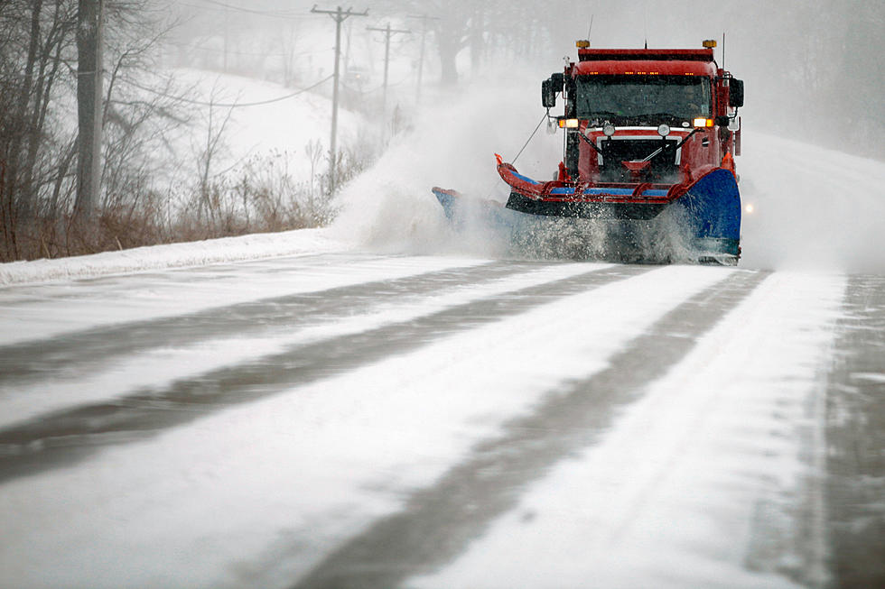
Storm To Graze Downeast Areas With Accumulating Snow Friday
A winter storm is tracking close enough to bring snow to Downeast areas of the state, Friday.
It won't be a winter whopper, but some accumulating snow is in the forecast. The National Weather Service is watching a winter storm that is close enough to bring snow to areas of Downeast Maine, Friday afternoon. Coastal Hancock into Washington county could see about 2-4 inches of new snowfall. The Bangor area will likely see less than an inch of new snow.
According to WABI's Todd Simcox, far eastern Washington county could see as much as eight inches of snow Friday afternoon and night.
Winds will increase throughout the afternoon Friday, as arctic air once again settles into the state. Wind gusts are expected to top out near 30-40 MPH at times. Wind chill values are expected to dip dangerously low to -30 to -45, overnight Friday into Saturday. Forecasters warn that at these temps frostbite can set-in within 10 minutes on exposed skin.
Earlier in the week, arctic air combined with windy conditions prompted the issuing of Wind Chill Advisories and Warnings around the state. Bangor saw it's coldest day since January 6, 2018. For Caribou, Monday was the coldest day since January 8, 2015.
Get breaking weather alerts on our app.

25 Essentials to Keep in Your Vehicle During the Winter Months
15 Astonishing Natural Wonders Of Maine
15 Must-Have Items For Ice Fishing Season In Maine
More From WQCB Brewer Maine