Weekend Storm Will Bring Wintry Mix + Rain To The Bangor Area
Snow lovers won't like the forecast for this weekend. A tricky storm will bring a wintry mix and rain to much of Maine.
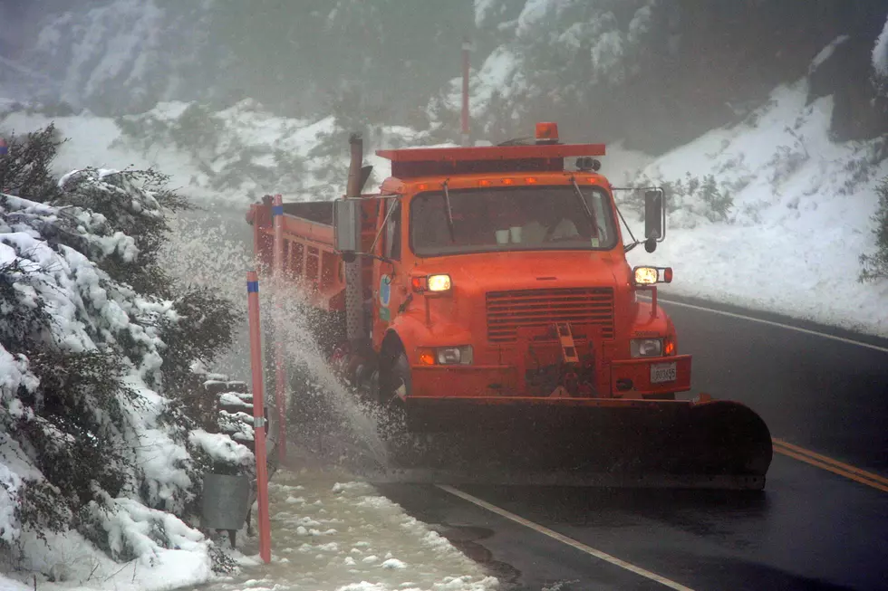
The National Weather Service is tracking a weekend storm that could bring the Bangor area back to bare ground. The weather system is expected to impact the state Saturday into Saturday night. What forecasters are calling a tricky storm to predict, will likely bring a wintry mix and rain to the Bangor and Downeast areas. Areas north have a better chance of seeing snow and a wintry mix. Only areas in the North Woods will likely see all snow, totaling around 6-8 inches.
Forecasters say snowfall totals depend on how much cold air stays in place while the storm crosses that state. Some northern areas of the state have the best chance to see measurable snow, near 4-6 inches. The Bangor area to the coast will likely see less than an inch of new snow.
Rainfall and melting snow may cause a sharp water level rise in small rivers and streams, throughout the Bangor and Downeast areas. Major rivers are expected to stay below flood stage.
Get breaking weather alerts on our app. Check for business closings at our winter weather resource center.

NEXT: 10 Essential Items for Your Car's Winter Emergency Kit
More From WQCB Brewer Maine